

![]() Press release
Press release
25KB
With the pair of Sentinel-2 satellites now in orbit, users are looking ahead to mapping global land cover at 10 m resolution.
Land-cover mapping breaks down the different types of material on Earth’s surface, such as water bodies, ice cover, different forms of agriculture or forests, grasslands and artificial surfaces.
This information is important for understanding changes in land use, modelling climate change extent and impacts, conserving biodiversity and managing natural resources.
ESA has been coordinating global land cover maps since 2002 through its GlobCover and Climate Change Initiative (CCI) Land Cover projects at a resolution of 300 m. But with the Copernicus Sentinel-2 pair now becoming operational, the possibility of a global map at 10 m is just on the horizon.
If realised, this would improve the resolution of the land cover map by a factor of almost 1000: each single pixel from the older map would be replaced by 900 pixels.
The CCI Land Cover project is working on the first high-resolution prototype map of #africa using Sentinel-2A data. Sentinel-2B joined its twin in orbit on 7 March, increasing the temporal resolution of the mission.
Last week, the WorldCover2017 conference at ESA’s establishment in Italy brought together some 270 scientists, including representatives from US, Chinese and European organisations to discuss a coordinated action to build the first 10 m resolution global land cover map.
“From this conference we see significant technical advances,” said Professor Chen Jun, First Vice President of the National Geometrics Center of China, which is developing a 2015 land cover map at 30 m.
“The future of land cover mapping will rely largely on the benefits that the Copernicus Sentinel-2 constellation will bring in terms of spatial resolution, spectral coverage and revisit together with partner missions.”
He went on to say that his organisation is already using data from the Sentinel-2 mission for mapping smaller islands, where a 10 m resolution is necessary.
At WorldCover2017, the experts also discussed the importance of free and open data access – a policy at the heart of Europe’s environment monitoring Copernicus programme – and the wider economic benefits of such a policy.
“The idea is like the GPS systems in your phone: if you have to pay a dollar every time you used it, no one would use it. But because it’s free, they built industries off of that signal,” explained Matthew Hansen, professor at the University of Maryland in the US.
“When Landsat was provided free of charge, applications using it in the US paid for the system within the first year.”

Mapping African land cover.jpg esa
![]() 2244x2244, 496KB
2244x2244, 496KB
Orange River agriculture South Africa
![]() 1540x682, 165KB
1540x682, 165KB
Evaporation ponds Namibia.jpg esa
![]() 1539x678, 115KB
1539x678, 115KB
![]() Press release
Press release
25KB
Related news |
||
|

|
|
may 03, 2017
|
april 28, 2017
|
april 26, 2017
|
|
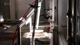
Bricks have been 3D printed out of simulated moondust using concentrated sunlight – proving in principle that future lunar colonis... |
Astronauts in space are valuable sources of scientific data. Researchers collect blood and urine samples to understand what effect... |
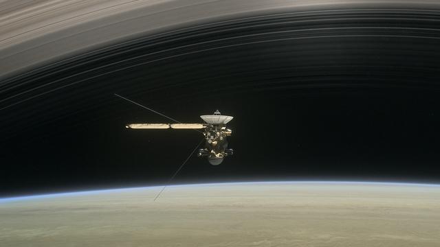
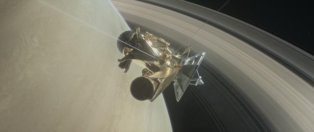
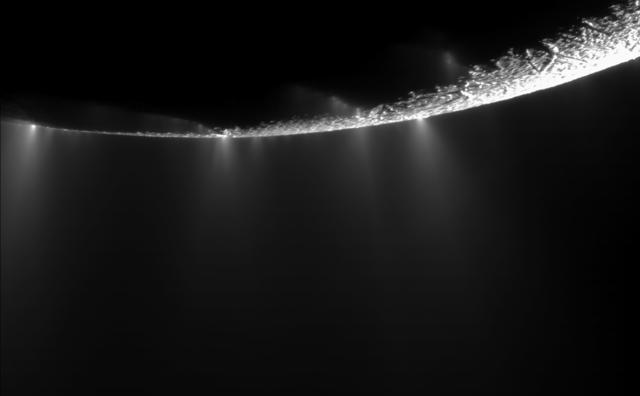
After nearly 13 years in orbit around Saturn, the international Cassini–Huygens mission is about to begin its final chapter: the s... |
You might be interested in |
||
|
|
|
april 21, 2017
|
april 21, 2017
|
april 18, 2017
|
|
With more than 750 000 pieces of dangerous debris now orbiting Earth, the urgent need for coordinated international action to ensu... |
Thanks to social media and the power of citizen scientists chasing the northern lights, a new feature was discovered recently. Nob... |
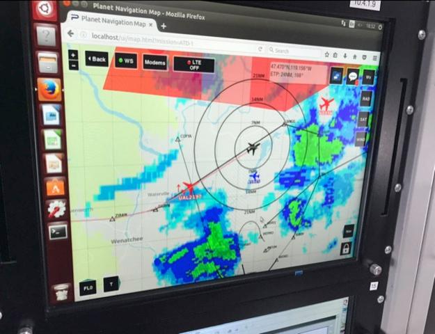
Thanks to ESA, aircraft are using satcoms to share realtime information with other aircraft and ground stations to improve flight ... |
© Copyright 2024


 Italian
  Share
Share Share via mail
  Automotive
 Sport
Sport Events
 Art&Culture
 Design
 Fashion&Beauty
 Food&Hospitality
 Technology
 Nautica
 Racing
 Excellence
 Corporate
 OffBeat
 Green
Green Gift
Gift Pop
Pop Heritage
 Entertainment
 Health & Wellness